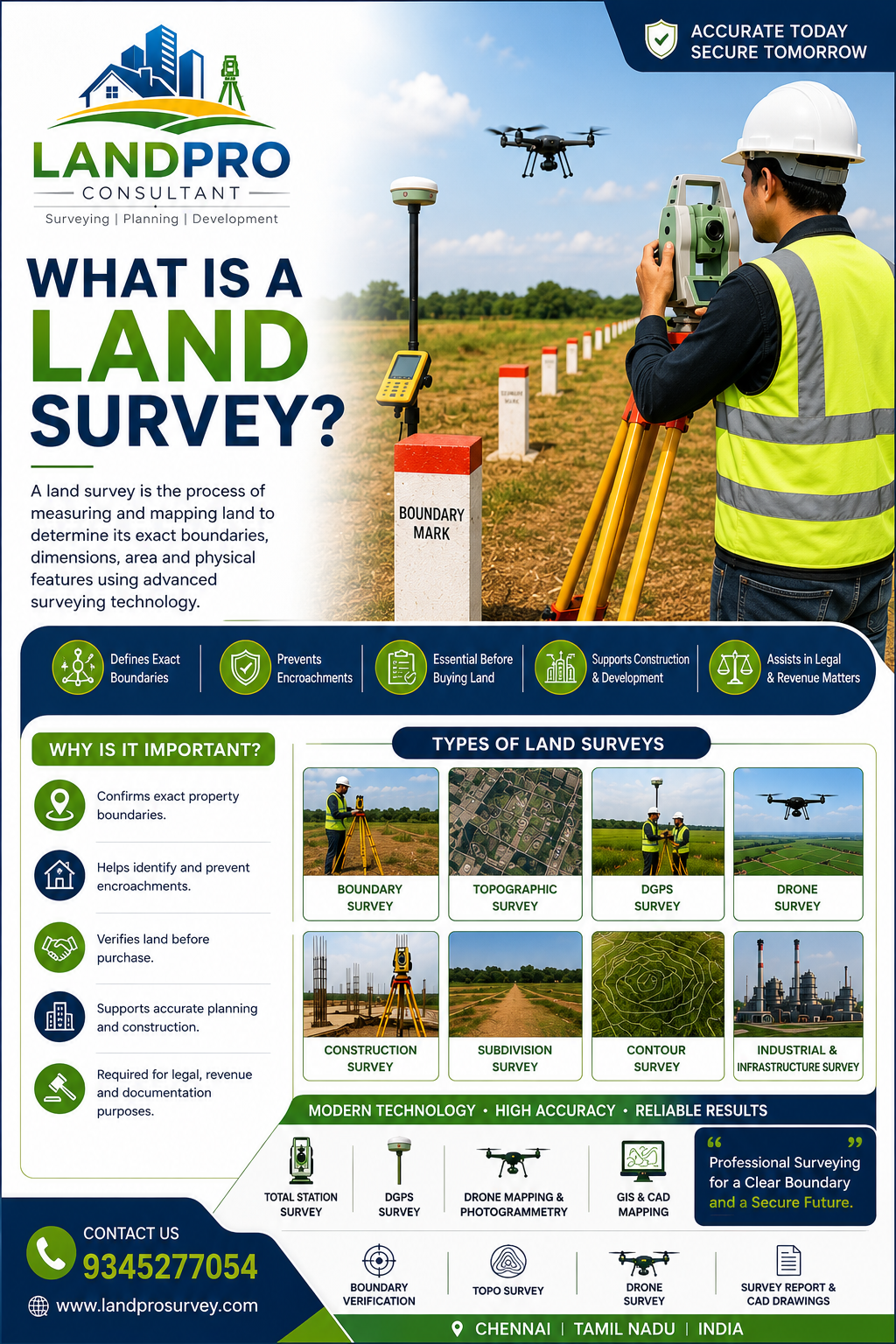
What is a Land Survey? A land survey is the process of measuring and identifying the exact boundaries, dimensions, and features of a property using professional surveying equipment.
Before buying land, constructing a building, or installing fencing, a survey helps confirm the actual property limits and prevents future disputes.
What is a Land Survey Used For?
Modern Survey Methods
Today, surveyors use advanced technologies such as:
These methods provide accurate measurements and reliable results for residential, commercial, and industrial projects.
Conclusion
A professional land survey protects your investment and provides confidence before making any property decision.
If you are planning to buy, sell, develop, or secure your land, conducting a survey is the first step toward avoiding future complications.
Links