When planning to buy land, develop a property, or resolve boundary disputes, choosing the right survey method is essential. Two commonly used survey methods are Boundary Survey and DGPS Survey.
Boundary Survey
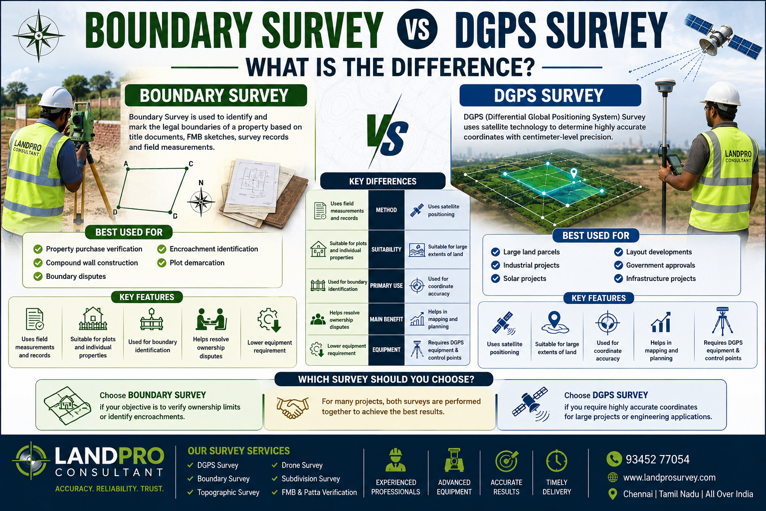
A Boundary Survey is used to identify and mark the legal boundaries of a property based on title documents, FMB sketches, survey records, and field measurements.
✅ Property purchase verification
✅ Compound wall construction
✅ Boundary disputes
✅ Encroachment identification
✅ Plot demarcation
DGPS Survey
DGPS (Differential Global Positioning System) Survey uses satellite technology to determine highly accurate coordinates with centimeter-level precision.
Best Used For:
✅ Large land parcels
✅ Industrial projects
✅ Solar projects
✅ Layout developments
✅ Government approvals
✅ Infrastructure projects
| Boundary Survey | DGPS Survey |
|---|---|
| Uses field measurements and records | Uses satellite positioning |
| Suitable for plots and individual properties | Suitable for large extents of land |
| Used for boundary identification | Used for coordinate accuracy |
| Helps resolve ownership disputes | Helps in mapping and planning |
| Lower equipment requirement | Requires DGPS equipment and control points |
Which Survey Should You Choose?
- Choose Boundary Survey if your objective is to verify ownership limits or identify encroachments.
- Choose DGPS Survey if you require highly accurate coordinates for large projects or engineering applications.
- For many projects, both surveys are performed together to achieve the best results.
Conclusion
Boundary Survey protects your property limits, while DGPS Survey provides high-precision coordinates for planning and development. Selecting the right survey method ensures accurate data and reduces future disputes.