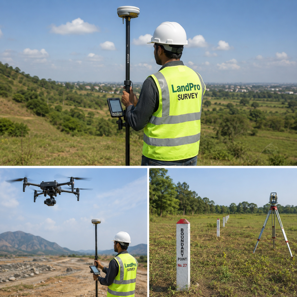
DGPS Survey Services
High-Precision Land Survey Solutions
LandPro Survey provides accurate DGPS (Differential Global Positioning System) surveys for land demarcation, topographical mapping, infrastructure projects, mining, layouts, and government projects across Tamil Nadu.
Why Choose DGPS Survey?
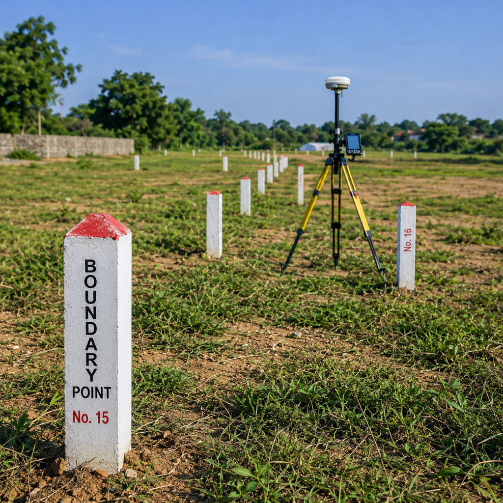
Land Boundary Survey
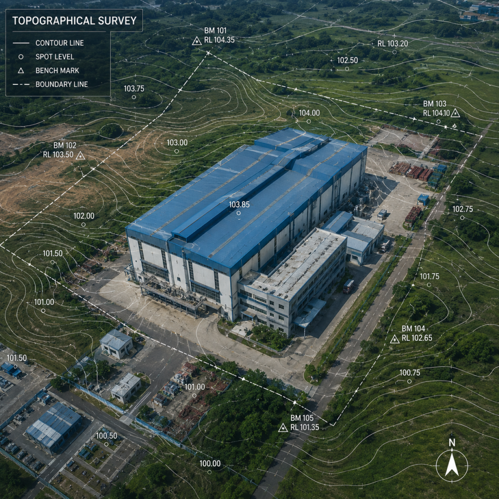
Topographical Survey
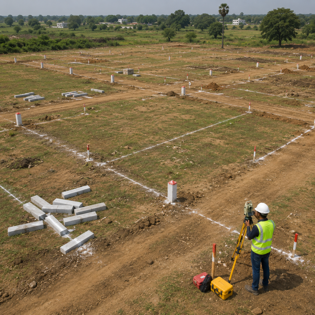
Layout Survey
DGPS ?
Get precise land measurements, boundary verification, topographical mapping, layout marking, and development surveys using advanced DGPS technology