Expert DGPS Survey in Chennai by LandPro Survey
LandPro Survey provides accurate DGPS, boundary, and drone surveys in Chennai for all your mapping and verification needs.
Why Choose DGPS Survey?
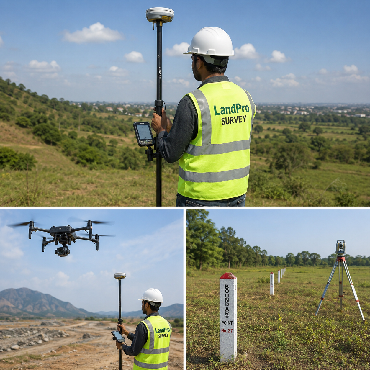
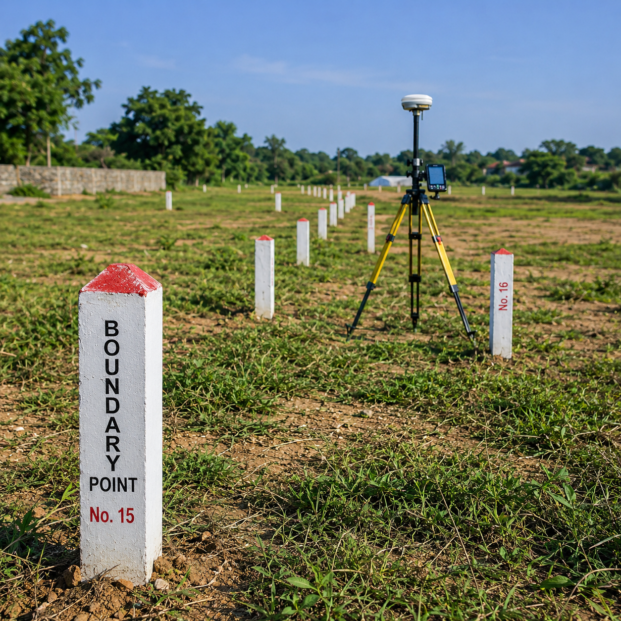
Land Boundary Survey
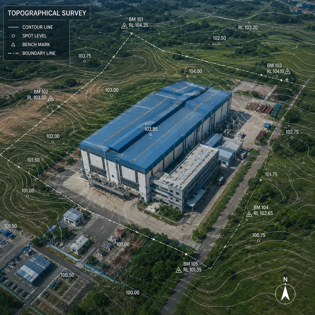
Topographical Survey
Layout Survey
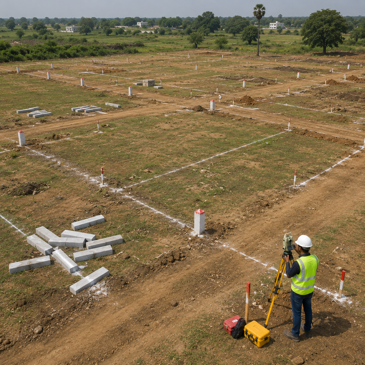
What is DGPS Survey?
A DGPS (Differential Global Positioning System) Survey is an advanced land surveying method that uses satellite signals and correction data to achieve centimeter-level accuracy. Compared to conventional survey methods, DGPS technology provides highly precise coordinates, making it ideal for engineering, infrastructure, industrial, and land development projects.
DGPS surveys are widely used for topographic mapping, land boundary verification, layout development, road projects, solar parks, mining operations, and industrial site planning. The collected survey data can be integrated directly into CAD drawings, GIS platforms, and engineering software for planning and design purposes.
Applications of DGPS Survey
DGPS Survey is suitable for a wide range of projects, including:
- Topographic and contour surveys
- Industrial and factory site surveys
- Solar power plant surveys
- Highway and road alignment surveys
- Layout and township development
- Land acquisition and land bank surveys
- Infrastructure and utility corridor mapping
- Boundary verification and large land parcel surveys
- Mining and quarry surveys
- Agricultural and irrigation projects
Advantages of DGPS Survey
DGPS technology offers several advantages over traditional survey methods:
- Centimeter-level positional accuracy
- Faster data collection for large areas
- Reduced field time and manpower requirements
- Reliable coordinate systems for engineering projects
- Seamless integration with GIS and CAD platforms
- Improved project planning and decision-making
DGPS Survey Deliverables
A professional DGPS survey typically includes:
- Coordinate list of survey points
- Topographic survey drawings
- Contour maps
- CAD drawings in DWG and PDF formats
- Boundary and area calculations
- GIS-compatible datasets
- Survey report and technical documentation
Industries That Use DGPS Survey
DGPS Survey is commonly used by:
- Real estate developers
- Construction companies
- Industrial project developers
- Solar and renewable energy companies
- Government agencies
- Infrastructure contractors
- Mining companies
- Architects and engineering consultants
Why Choose Professional DGPS Survey Services?
Accurate survey data forms the foundation of every successful project. Errors in land measurement can lead to costly disputes, design issues, and construction delays. Professional DGPS surveys ensure accurate coordinates, reliable mapping data, and compliance with project requirements.
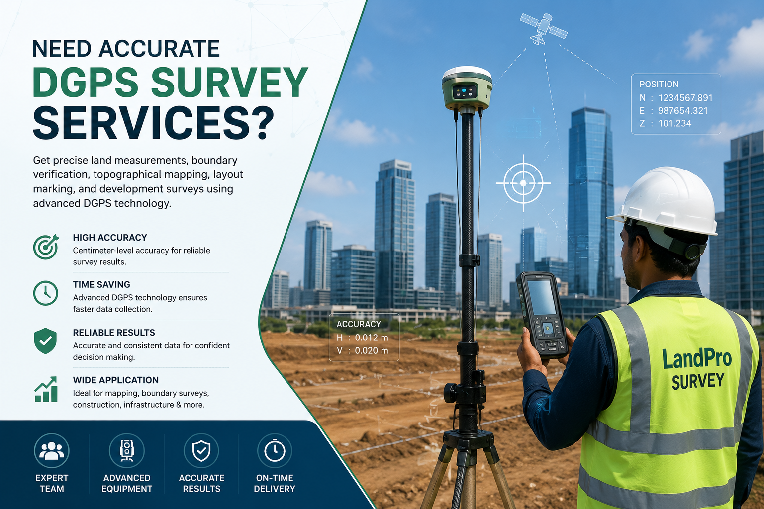
DGPS ?
Get precise land measurements, boundary verification, topographical mapping, layout marking, and development surveys using advanced DGPS technology